Poulanass & St Kevins Cell - Glendalough
Car parking fee of 4 euro per day in Upper Lake Car Park
Grade
Moderate
Length
0.9 km
Time
45 minutes
Format
Loop
Ascent
120 m
Waymarking
Brown
Start Point
National Park Information Office near the Upper Lake.
Finish Point
National Park Information Office near the Upper Lake.
Nearest Town to Start
Laragh
Grid Ref.
T 111 961
Lat. and Long.
53.004686, -6.345726
This trail rises steeply on a path alongside Poulanass Waterfall, leading you through Glendalough's oak woodlands before winding gently down on a forest road to the site of St. Kevin's Cell and a scenic viewpoint overlooking the Upper Lake with its surrounding mountains.
Facilities
In Laragh: Car parking, shops, pubs, cafes, restaurants, accommodation
At trailhead: Car park with toilets, tea/coffee/etc. nearby

Map Guides
The Walking Trails of Glenedalough

OSI Maps
Discovery Series Sheet 56
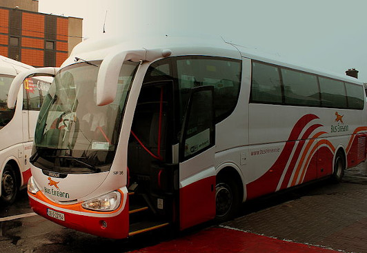
Public Transportation
St Kevin's Bus Service from Dublin City Centre via Bray has a number of services per day