Courtown - Kiltennel Trail
Grade
Easy
Length
2.4 km
Time
30 minutes
Format
Linear
Ascent
3 m
Dogs Allowed
On a lead
Waymarking
Yellow arrow on white background
Start Point
Burrow Top Car Park
Finish Point
Kiltennel Car Park
Nearest Town to Start
Courtown
Grid Ref.
T 192 567
/ T 209 585
Lat. and Long.
52.647133, -6.227657
/ 52.665011, -6.213167
Maps and other information
External Links
Trail Management
Facilities
In Courtown: Car parking, shops, restaurants, cafés, pubs, toilets, accommodation, etc.
At Trailhead: Car parking

OSI Maps
Discovery Series Sheet 69
Public Transportation
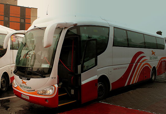
Local Link Bus - see https://locallinkwexford.ie/wp-content/uploads/2021/05/389-Riverchapel-€¦
Jane Nolan from Wexford