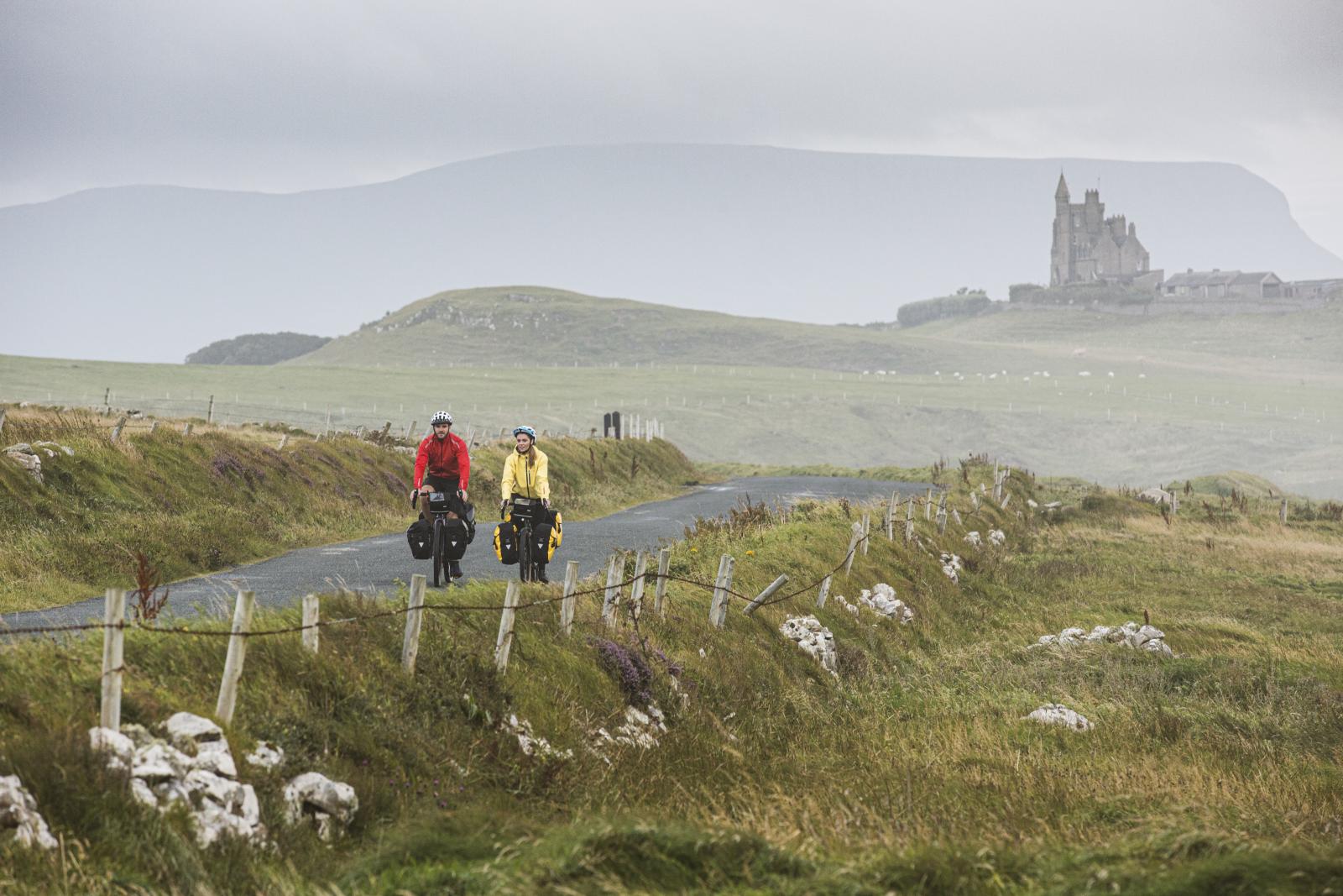
EuroVelo 1 Ireland - Atlantic Coast Route

In the Republic of Ireland the Atlantic Coast Route (EuroVelo 1) - described here from North to South - starts at the village of Newtowncunningham in County Donegal. From here the route is signposted for almost 200km on quiet rural roads, to Donegal town. The route then joins the North West Cycle Trail which is signposted as far as Sligo town. After that much of the route is not yet developed or signposted. However, there are some notable exceptions to this in Co Mayo and Co Limerick where the route joins the Great Western Greenway for almost 42km and the Great Southern Trail for 37.5km respectively. Both of these sections are constructed on former railway lines and are mostly traffic free. After this there are some further signposted road sections which are part of existing regional and local routes in Counties Clare, Cork and Waterford. However, much of the route in the southern part of the country is yet to be developed. Eventually the route arrives at Rosslare on the East coast, where cyclists can connect with a ferry to Wales and continue on the Atlantic Coast Route through the United Kingdom.
Trail Management
The section of the route which passes through each county is managed by the Local Authority. Overall management of the route is coordinated by the National EuroVelo Coordination Center (NECC) now led by Cycling Ireland. For more information on the route or to report any issues please email info@euroveloireland.ie.
Facilities
The route goes through cities, towns and villages along the way where there are faclities including restaurants, pubs and accommodation. Food and accommodation may also be found at other points along the route, outside of urban areas. Some locations will have bike repair shops. For further details see https://euroveloireland.ie

Map Guides
EuroVelo 1 Atlantic Coast Route - https://www.esterbauer.com/bikeline/eurovelo-1-atlantic-coast-route

OSI Maps

Public Transportation
Details of public tranport available from cities, towns and villages along the route can be found as follows:
Rail - Irish Rail
Bus - Bus Eireann
For further details see https://euroveloireland.ie/transport
This route is fully signposted throughout its length. However, signs can get damaged or go missing so it is advisable to use a navigation device loaded with a GPX file of the route if you have one. A map of the full route is also shown on https://euroveloireland.ie.
The route is mostly on quiet roads with low levels of motorised traffic. However, there are some sections shared with moderate traffic and some short sections shared with higher traffic. The route also includes traffic free greenways. More traffic free sections will be added when they are completed. There are a number of such sections under development. The route map will be updated as soon as they are included.