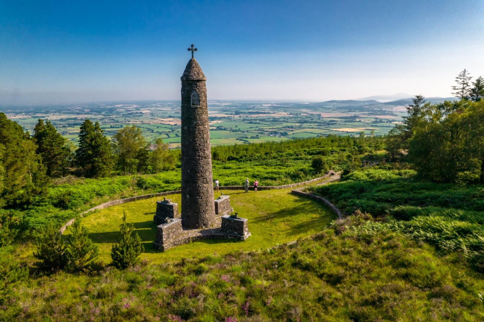
St Declan's Way
Annual Closure Notice: St. Declan’s Way
Some of the property traversed by St. Declan's Way is private property. Access is available by kind permission of all the landowners/holders on the route. Persons entering do so by permission with the consent of the landowner. No matter how often they enter, or in what numbers, they do not do so as of right.
As further evidence of the permissive nature of the access, the route will be closed for one day on the third Thursday of December each year in agreement with the landowners. Nothing in this notice shall impact or address any pre-existing public rights of way.
The majority (85%) of this trail is graded Moderate, however the section over the Knockmealdown Mountains (the remaining 15% of the total route) is graded Strenuous.
PLEASE NOTE: There is currently a diversion in place along St Declan’s Way diverting walkers away from the Licky River. Update 19/10/23 - Please note, the footbridge over the Licky River has been washed away by the recent strom. Please follow the diversion signs provided.
Please NOTE: There is a diversion in place along the Coillte Knocknafallia/Dyrick section on the trail to avoid an eroded pathway. The diversion will need to be in place until repairs can be completed in 2024.

Maps and other information
Trail Management
Tipperary Section: South Tipperary Development CLG. Tel: 052 7442652 Email: info@stdc.
Waterford Section: Waterford LEADER Partnership. Tel: 058 54646 Email: info@wlp.ie
Facilities
In Cashel: Car parking, shops, restaurants, cafes, takeaways, pubs, accommodation
At Cashel Trailhead: Car parking
In Ardmore: Car parking, shops, restaurants, cafes, takeaways, pubs, accommodation
At Ardmore Trailhead: Car parking
Some of the property traversed by St Declan’s Way is private property. Access is available by kind permission of all the landowners/holders on the route. It is understood that persons entering do so by permission with consent of the landowner and no matter how often they enter, or in what numbers, they do not do so as a right. As further evidence of the permissive nature of the access, the route will be closed on the second Thursday in December of each year in agreement with the landowners/holders. Nothing in this notice shall impact or address any pre-existing public rights of way.

OSI Maps

Public Transportation
Bus services available at Cashel, Cahir, Ardfinnan, Lismore, Cappoquin, Ardmore
Train services available at Cahir
Sara Devoy from Cork
stops enroute would of course be fabulous so walkers can plan to do a few days at a time. Plan to travel as light as possible especially Goatenbridge to Mellory!
John Breheny from Ireland
Some of the road walking was uncomfortable as we vied with busy traffic.
Francis Porter from Wexford
NOTE FROM ST DECLAN'S WAY MANAGEMENT COMMITTEE: Thank you for your review Francis and for flagging the issues you had the with signage in Cashel. One of our fingerpost signs in Cashel has been damaged and we are working to resolve this.
Seamus Fox from Cork
Patrick Molony from Meath
NOTE FROM ST DECLAN'S WAY MANAGEMENT COMMITTEE: Hello Patrick, thank you for your review. We are always happy to get feedback from walkers, especially as the trail is only approved since July 2021. We are already working to address some of the issues you raise, especially signage to direct people to Goatenbridge and Aglish. Provision of rest areas is another priority. We have a new map brochure almost ready that will provide information for walkers. We hope all of these things will make St Declan's Way more enjoyable for walkers.
Kristine from Dublin